Welcome to Egypt, Tiny Travelers!
This week we we will continue to apply all of your learning about maps, geography, and land and water forms as we explore Egypt. Located in northeast Africa, Egypt has a desert climate of extreme hot during the summer and cold during the winter. Because Egypt only receives about one inch of rainfall each year, the Nile River is an important source of water, with annual floods that allow for crops to grow. These floods were crucial for the ancient civilizations that inhabited Egypt, which is why some of the most iconic historic sites are located near the Nile, such as the great Pyramids of Giza, the Sphinx, and the Valley of Kings, not to mention the capital city of Cairo.
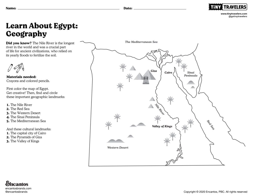
For this week’s lesson you will color a map of Egypt, then find and circle important geographic landmarks and cultural sites:
- The Nile River
- The Red Sea
- The Western Desert
- The Sinai Peninsula
- The Mediterranean Sea
- The capital city of Cairo
- The Pyramids of Giza
- The Valley of Kings


")