Bienvenido a Mexico, Tiny Travelers! Did you know, Mexico is located on the continent of North America?
In Mexico, they speak Spanish so let’s get to know some Spanish words with a fun video from Canticos! In “Weather the Weather” or “Jaraba Tapatío,” our learners will learn about all kinds of weather through one of Mexico’s most famous songs. Check it out now!
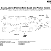
In today’s lesson, we will bring together some of the things you learned about maps, geography, and land and water forms as we explore Mexico. In Mexico, there are many high mountains throughout the country, vast deserts in the north, and lush green rain forests in the south and in the east.
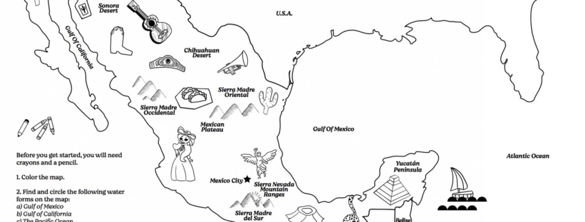
Before you get started, you will need crayons and a pencil.
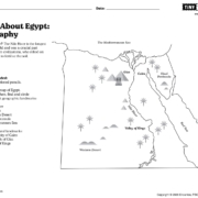
First, color the physical map of Mexico.
Next, find and circle the following water forms on the map:
1) the Gulf of Mexico
2) the Gulf of California
3) the Pacific Ocean
See if you can also find and circle the following landforms:
1) The Mexican Plateau
2) the Sonoran Desert and the Chihuahuan Desert
3) Sierra Madre Occidental, Sierra Madre Oriental, Sierra Madre del Sur, Sierra Nevada Mountain ranges
4) the Yucatan Peninsula
