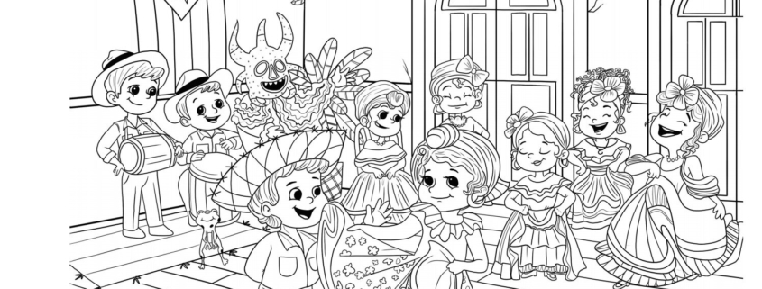
Let’s dance, Tiny Travelers! Today we will explore the rich history of Puerto Rico’s Bomba and Plena music.
Drawing inspiration from traditional African music, what’s fun about Bomba and Plena is that they are both interactive! In Bomba music, singers lead a call-and-response chorus along to the beat that the musicians make with their barrel drums known as the subidor or primo (bomba barrel or drum). The musicians also play other percussion instruments including maracas, and the cuá or fuá, two sticks that are played against a piece of wood or the barrel of the bomba drum. While Plena music has one rhythm, Bomba can have up to 16 different rhythms! Plena music tells more of a story, usually about events or times when people needed to join together to make a change.
Puerto Rico has a long history of using music as a form of storytelling. In both Bomba and Plena, you can hear songs about resistance, struggle, celebration, and joy! No matter the style, it is music that brings together the soul of the Puerto Rican people and their cultural pride for their beloved island!
Today, you can bring to life a scene of Bomba musicians and dancers with a fun coloring activity. While you color, enjoy the sound of Bomba with this song: Mayelá (bomba) by Viento De Agua. To see a video of Bomba musicians, singers, and dancers, take a look here!
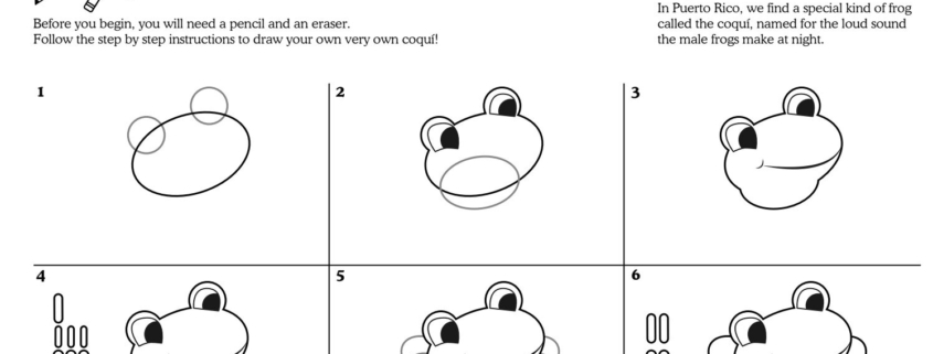
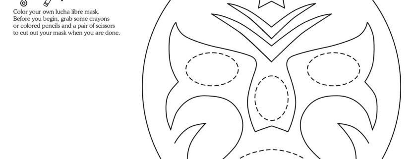
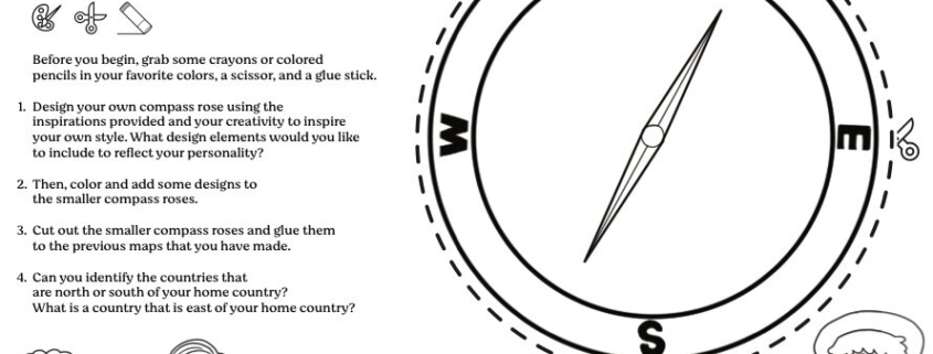
Before you begin, you will need a pencil, eraser, and colored pencils or crayons.